About
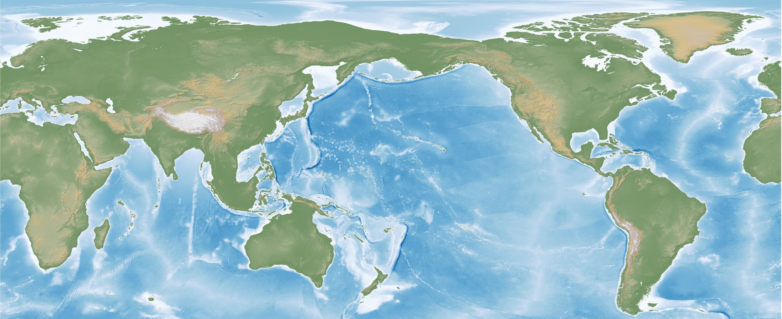
SeaLevelMap.io is your portal into Earth's historical landscapes. As an innovative platform, we present global sea level fluctuations spanning the past 135,000 years through an interactive map. Our objective is to simplify geological data and foster curiosity about our natural world.
Highlighting critical periods like the Last Glacial Maximum, our map allows you to journey through the Pleistocene and Holocene epochs (Marine Isotope Stages 1-5). Experience the transformation of coastlines due to the ebb and flow of ancient seas and the movement of prehistoric ice sheets, all of which are meticulously visualized with cutting-edge geospatial technology.
Whether you're a professional researcher, a passionate learner, or just fascinated by Earth's geological history, SeaLevelMap.io is designed to make the science of sea levels engaging and approachable. Embark on a journey with us, exploring ancient landscapes, sea level changes, and prehistoric coastlines. Welcome to SeaLevelMap.io, where history and technology converge for boundless exploration.